
Environmental Sciences
Marine, Coastal, and the Ground Behind It
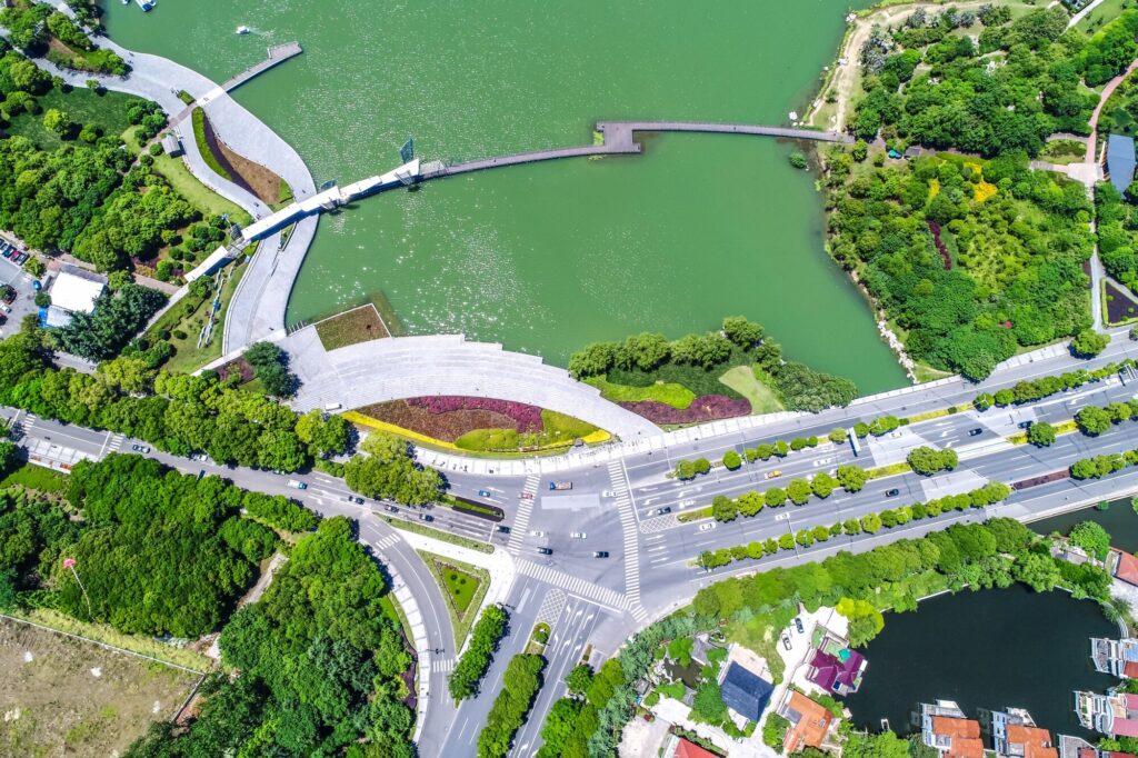
The coast raises the hardest questions about where the water is going, what the ground underneath will do, and what a project costs the shoreline it sits on.
That is where this division concentrates. It is not where it stops. The same team also works on watersheds, slopes, stream crossings, and sites that have sat unexamined for years. Marine and coastal is the focus. The capability reaches inland.
Marine and Coastal Sciences Division. Coming soon in January 2027.
Marine and Coastal
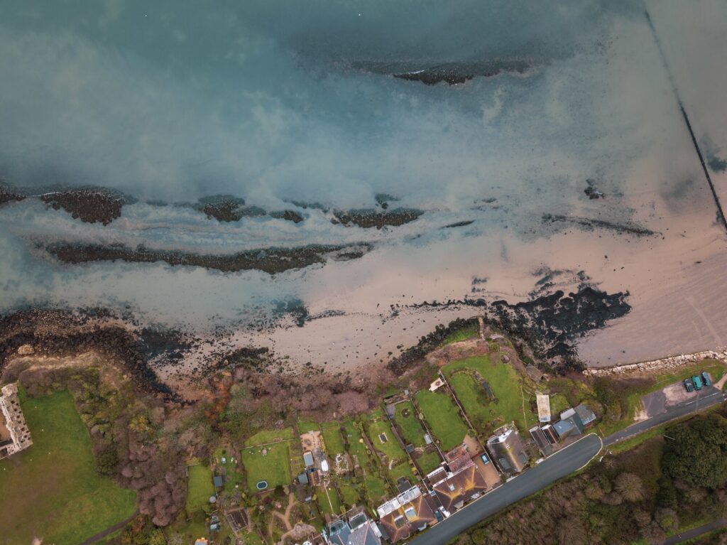
Coastal resilience and flood hazard mapping
Shoreline exposure, sea level rise, storm surge, and erosion mapped against real terrain. Floodplain delineation, flood construction levels, and adaptation planning, in the format municipalities and regional districts need for planning decisions and funding applications.
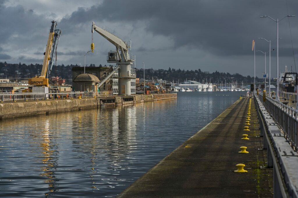
Marine construction compliance monitoring
Port, terminal, industrial, and shoreline projects carry monitoring obligations that run for years. We design and run those programs and produce the reporting that keeps a project inside its permits.
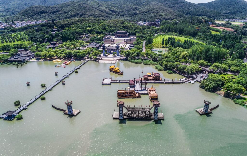
Marine assessment and site transition
Sites change hands, change use, or come out of service entirely. We provide baseline and closure assessment, sediment and benthic monitoring, contamination review, remediation planning, and siting and alternatives studies.
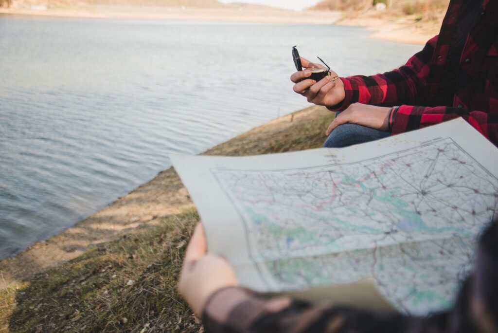
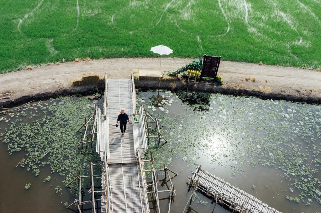
Water and Watersheds
Water behaves differently depending on what is upstream, what is underfoot, and what has been built in its way.
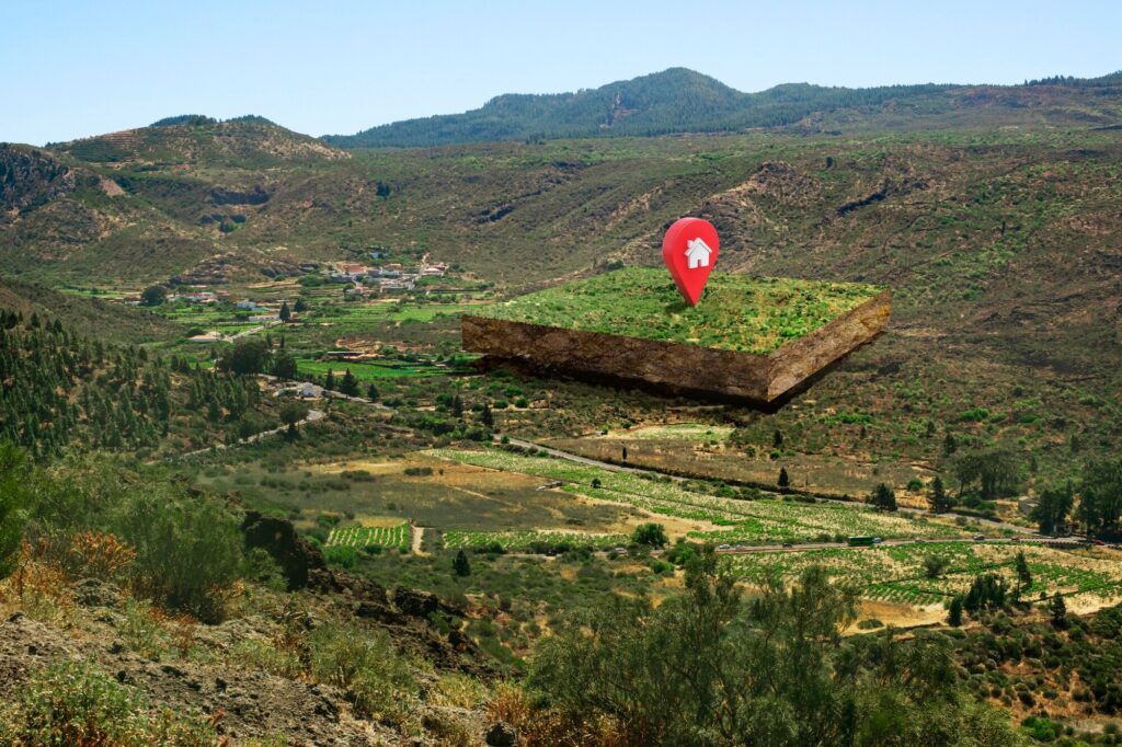
Ground, Terrain, and Geohazards
What the ground will do under load, under water, or under pressure decides what can be built and what has to be avoided.
Habitat, Fish, and Wildlife
Approvals turn on what lives there, what it needs, and whether the work leaves it intact.
Environmental Impact Assessment
When a project has to prove what it will do to the place it lands in, the assessment has to hold up to a reviewing authority, not just to the client who paid for it. We scope it, run the field work behind it, and write it so it survives review.
Areas of support include:
Management Planning Built on the Science
Assessment tells you what is happening. A plan tells you what to do about it. We do both, which is unusual, and it is the reason clients come back.
Field Programs and Compliance
The work that keeps a project moving and a file defensible.

Technical Reports
Our science team holds the professional designations required to assess, seal, and submit technical work in British Columbia across geoscience, biology, hydrology, and environmental practice.
That means one accountable firm from the first field day to the final submission, and no gap between the people doing the work and the people answering for it.
It Does Not Stop at the Waterline
Coastal flood mapping feeds a municipal hazard assessment. Terrain and hydrology work shapes an evacuation route. A site assessment changes what a continuity plan has to account for. A habitat constraint changes where a facility can go.
That is the point of running science and planning under one roof. The technical work is not a bolt on to the plan. It is what the plan is built from.
Start Where You Are
Whether you are scoping a monitoring program, preparing a funding application, or not sure you need this work at all, the first conversation costs nothing and usually clarifies a great deal.